Stanstead / Lac Lyster
- AL

- Dec 22, 2020
- 1 min read
Updated: Dec 19, 2022
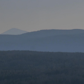
[365km] Direction Stanstead le long du lac Memphrémagog, puis randonnée au Mont Pinacle. Along the Memphrémagog lake direction Stanstead, then a hiking at Mount Pinacle.


Cantons de l'Est / Eastern Townships

A/R 250km + 115km - 1 Jour/Day - Route et Chemin / Road and dirt road

Magog - Stanstead - Lac Lyster - Coaticook


[A] Fitch Bay, Pont Couvert / Narrows Covered Bridge 1881 (route 247)


[B] Canusa (route 247) https://fr.wikipedia.org/wiki/Rue_Canusa


[C] Stanstead (route 247) https://haskellopera.com/


[D] Ch. Smith, Ch. Haskell


[E] Lac/Lake Lyster, Mont/Mount Pinacle, Parc H. Baldwin https://hikster.com/hikes/59531/ https://www.alltrails.com/fr/trail/canada/quebec/mont-pinacle-loop


[F] Coaticook (Ch. Martin, Ch. Houle, Ch. de Ladd's Mills, rue St-Marc)


Comments